Mastering Map Skills Worksheet for Young Explorers
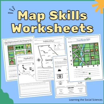
Unlocking the World of Maps: A Fun and Interactive Guide for Young Explorers
Are you ready to embark on an exciting adventure and discover the world of maps? Map skills are an essential part of navigation, geography, and even everyday life. As a young explorer, learning to read and use maps can help you navigate unfamiliar places, understand spatial relationships, and develop problem-solving skills. In this worksheet, we’ll take you on a thrilling journey to master the basics of map skills and become a skilled navigator.
Understanding Map Symbols and Legends
Before we begin our adventure, let’s start with the basics. Maps use symbols and legends to represent different features, such as roads, rivers, and buildings. These symbols are like a secret code that helps us understand the map. Here’s a list of common map symbols and their meanings:
- Roads: solid lines or dashed lines
- Rivers: wavy lines or blue lines
- Buildings: squares or rectangles
- Parks: green areas or trees
- Mountains: triangles or peaks
📍 Note: Different maps may use different symbols, so it's essential to check the legend (key) to understand the symbols used on a specific map.
Map Projections and Types
Did you know that there are different types of maps, each with its own unique characteristics? Let’s explore some of the most common types of maps:
- Flat maps: Show the world as a flat surface
- Globe maps: Show the world as a sphere (like a ball)
- Topographic maps: Show the shape and features of the land
- Street maps: Show roads, streets, and buildings
- Thematic maps: Show specific information, such as climate, population, or vegetation
Map Scales and Measurements
Maps use scales to help us measure distances and sizes. The scale is like a ruler that shows the relationship between the map and the real world. Here’s how to use a map scale:
- Linear scale: Shows distances in units, such as kilometers or miles
- Ratio scale: Shows the ratio of the map to the real world, such as 1:100,000
📏 Note: Always check the map scale to ensure you're measuring distances accurately.
Grid Systems and Coordinates
Grid systems and coordinates help us locate specific points on a map. Imagine a map as a big grid, with rows and columns like a chessboard. Each point on the grid has a unique set of coordinates, which can be used to identify its location.
- Latitude and longitude: Measure distances north-south and east-west, respectively
- Grid coordinates: Use letters and numbers to identify points on a grid
Navigation and Orienteering
Now that we’ve covered the basics, let’s put our skills to the test! Navigation and orienteering involve using maps to find your way around. Here are some tips to help you become a skilled navigator:
- Orient the map: Align the map with the surrounding environment
- Use landmarks: Identify recognizable features, such as buildings or roads
- Follow a route: Use the map to plan and follow a route
📍 Note: Always use a compass or GPS device to help you navigate, especially in unfamiliar areas.
Map Skills Worksheet
It’s time to put your knowledge to the test! Complete the following exercises to become a master of map skills:
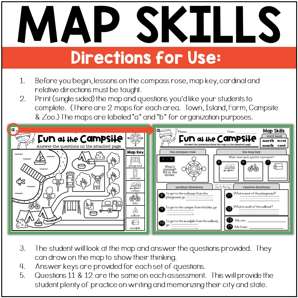
- Exercise 1: Identify the map symbols and legends used on a sample map.
- Exercise 2: Determine the type of map projection used on a sample map.
- Exercise 3: Use a map scale to measure the distance between two points.
- Exercise 4: Identify the grid coordinates of a specific point on a sample map.
- Exercise 5: Plan a route using a map and navigate through a sample scenario.
| Exercise | Instructions | Answer |
|---|---|---|
| Exercise 1 | Identify the map symbols and legends used on a sample map. | ______________ |
| Exercise 2 | Determine the type of map projection used on a sample map. | ______________ |
| Exercise 3 | Use a map scale to measure the distance between two points. | ______________ |
| Exercise 4 | Identify the grid coordinates of a specific point on a sample map. | ______________ |
| Exercise 5 | Plan a route using a map and navigate through a sample scenario. | ______________ |
In conclusion, mastering map skills is an exciting adventure that can help you navigate the world with confidence. By understanding map symbols, legends, projections, scales, and grid systems, you’ll become a skilled navigator and young explorer. Remember to always use a compass or GPS device to help you navigate, especially in unfamiliar areas. Happy mapping!
What is the purpose of a map legend?
+A map legend is a key that explains the symbols and colors used on a map. It helps readers understand the meaning of different features and symbols on the map.
What is the difference between a flat map and a globe map?
+A flat map shows the world as a flat surface, while a globe map shows the world as a sphere (like a ball). Globe maps are more accurate, but flat maps are often easier to use for navigation.
How do I use a map scale to measure distances?
+To use a map scale, first identify the scale ratio (e.g., 1:100,000). Then, measure the distance between two points on the map using a ruler or other measuring device. Finally, multiply the measured distance by the scale ratio to get the actual distance in the real world.
