-

Coordinate Grid City Planning Made Easy
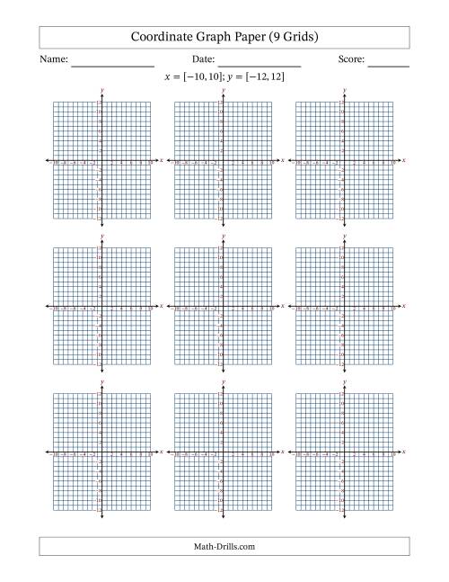
Learn how to design a city on a coordinate grid with our interactive worksheet. Develop spatial reasoning and math skills by plotting buildings, roads, and parks on a virtual grid. Practice using coordinates, scaling, and geometry to create a thriving metropolis. Ideal for middle school math students and educators looking for a fun, interactive lesson.
Read More »